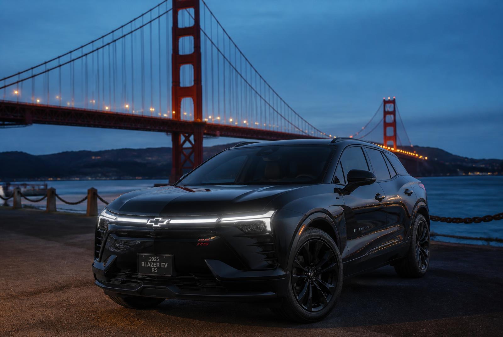
Highway 1: a complete guide from San Francisco to Big Sur
Stops, timing and the right pace to drive Highway 1 between San Francisco and Big Sur without rushing.
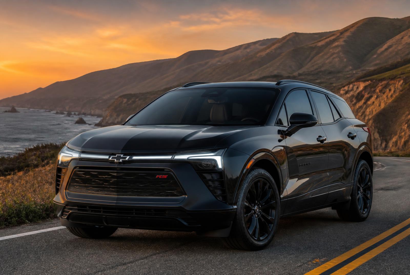
Highway 1 is California's most photographed road — and the most underestimated when it comes to timing. On a map, San Francisco to Big Sur is barely 150 miles. In reality, with turnouts, curves and coastal fog, it is a full day.
How long it actually takes
Non-stop, 3.5 to 4 hours. With the essential overlooks, 6 to 8 hours. Trying to do it as a round trip in one morning is the most common self-planned mistake.
Stops worth the time
- Pacifica and Devil's Slide: your first Pacific view, 30 minutes from San Francisco.
- Half Moon Bay: coffee, beach, and Pigeon Point Lighthouse further south.
- Santa Cruz: the historic boardwalk and eucalyptus air.
- Monterey and Pacific Grove: the aquarium, the bay and 17-Mile Drive.
- Carmel-by-the-Sea: a gallery village, ideal for lunch.
- Bixby Creek Bridge: the Big Sur icon, best in late afternoon light.
Best season and time of day
September and October bring the clearest days. From June to August, marine fog covers the coast until around 11am — leaving too early means grey photos. In winter, always check for landslide closures before departing.
What most travellers miss
Highway 1 has narrow shoulders, turnouts that fill quickly and long stretches with no cell signal. Driving and sightseeing at once is hard: the person at the wheel sees far less than they expect.
How we run this route
We drive it in a 100% electric SUV, with a departure time set around the day's fog, stops chosen for the light, and real time to step out at every overlook. You watch the ocean instead of the next curve.
Travel California in a 100% electric SUV
Request a quote or reserve a private chauffeur for airport transfers, wine country days and multi-day California journeys.
First trip to California: 12 tips that save you time
Private driver in California: how it works and what it's worth